
Our day began at dawn as we loaded up the truck to take the 90-mile journey into Tonto National Forest. It looked to be a glorious day for a road trip. Our destination was Tonto National Monument, home to the Salado ancient cliff dwellings.
Situated within rugged terrain in the northeastern part of the Sonoran Desert, Tonto National Monument tells the story of the migration of ancient peoples who called this land home and is the setting of two 700-year old cliff dwellings. Recessed into shallow caves, they overlook today what is Roosevelt Lake, but in earlier times was a verdant valley with a river flowing through it.

The first Tonto Basin inhabitants (between 100 and 600 AD) support evidence of some of the earliest farming communities. The river provided fertile ground for many crops until the year 600, when all who had settled here moved on, perhaps due to adverse climate conditions that laid the land barren. No one was to return for another 150 years.
During ancient times tribes migrated to land that was able to supply most of their meager needs. Off and on through the 12th century a constant ebb and flow of settlers marked this land. Periods of drought and flooding caused these huge migrations as farm crops withered or irrigation canals were washed away in the rushing waters, leaving hundreds of acres of useless farmland in their wake.

By the early 13th century, thousands once again called the Tonto Basin their home. New immigrants began seeking refuge in the basin’s upper elevations, perhaps because all the prime Salt River Valley floor was occupied or maybe due to strife between tribes. The cliff dwellings that remain have provided archeologists many clues to their lives.
The structures that stand today, the Lower and Upper Cliff Dwellings, are two of hundreds that once stood in the thriving Tonto Basin. The skeletal remains of the rooms within tell a story of people who flourished and struggled with the changing climates. Dump sites have unearthed many important artifacts, along with the remains of a few, lovingly buried where they lived.
The first written record of the cliff dwellings at Tonto National Monument date back to 1880. What the first Europeans who explored this dwelling found was a much larger, well-preserved structure than we see today. The effects of time, weather, visitation, and vandals have taken their toll, which is why President Theodore Roosevelt intervened in 1907 and declared this site a National Monument.


The Lower Cliff Dwelling, built in 1250 AD, was occupied and maintained for ~100 years and can be viewed as a self-guided tour, a one-half mile paved walk with a 350-foot elevation gain. At its height it housed 20 rooms.
The Upper Cliff Dwelling, also built in 1250 AD, can be seen only by guided tour. Our Park Ranger tour guide Jan has a passion for preserving this site, and gave an excellent tour. Our small group took the 3-mile hike (round trip) into the rugged wilderness, up 600 feet, to the cave which once housed 40 rooms within its depths.
We chose the route back over the Apache Trail. One would think, based on its length (40 miles), that this would be the shortcut, but you would be wrong. Although a part of it is now paved, many miles are rutted dirt road, but passing by some amazing scenery, and the mile-long Fish Creek Hill is not to be missed for some hair-raising fun. Winding, steep, and narrow, if meeting a vehicle coming the other direction, someone must back up to the nearest turn-out. This was once a stagecoach trail that ran through the Superstition Mountains, named after the Apache Indians who traveled through this harsh country.


President Theodore Roosevelt had this to say about the Apache Trail in 1911:
“The Apache Trail combines the grandeur of the Alps, the Glory of the Rockies, the magnificence of the Grand Canyon and then adds an indefinable something that none of the others have, to me, it is most awe-inspiring and most sublimely beautiful.”
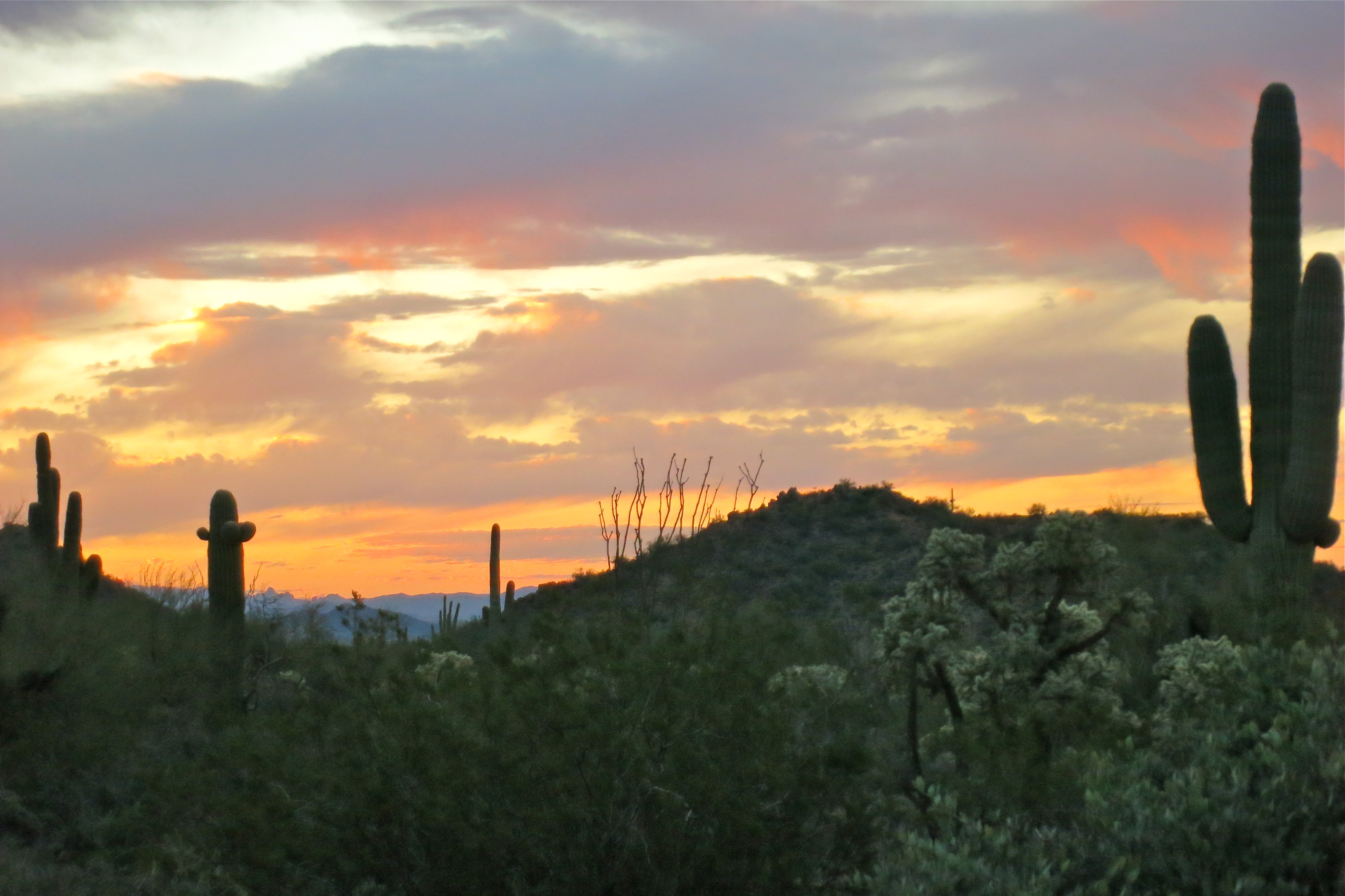
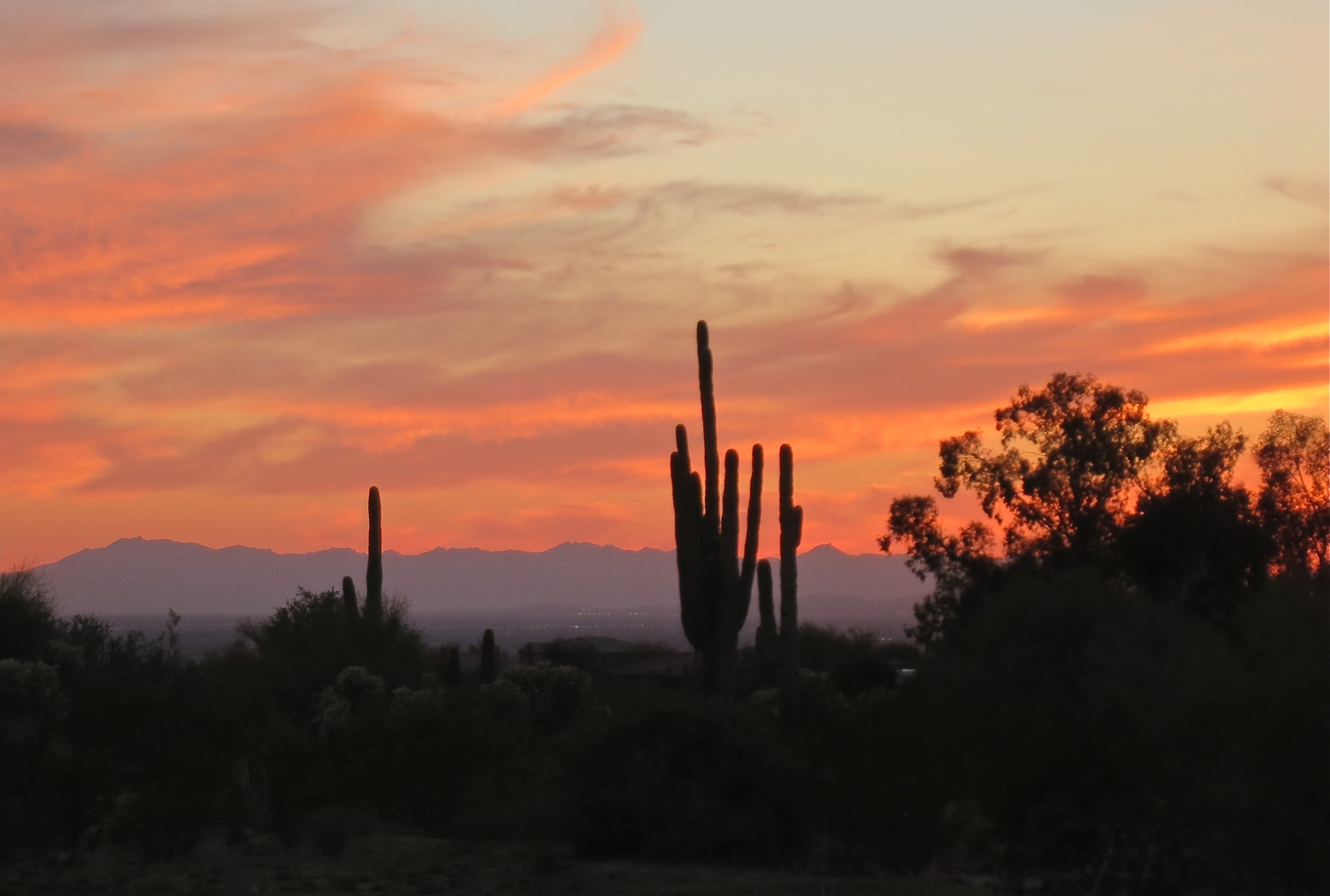
We arrived back home just as Mother Nature was painting the sky the most delicate shades of coral and lavender, a delightful ending to the day.
If you liked this blog post, why not scroll up to ‘Follow Us’ and enter your email address? You just might find something that interests you.


