“Preposterously Beautiful” ~ Patagonia, AZ

This is the way part-time resident, novelist and screenwriter (Legends of the Fall) Jim Harrison describes Patagonia.  We just blew through this funky little town several years ago when we visited so we decided it was time to show her some respect.

Our good friends Stan and Marilyn were hunkered down here for a few days while a winter storm passed by and we wanted to see them one last time before they began their journey back home.  Even though the weather wasn’t perfect, what better place to enjoy nature for a few hours than in a world-class birding hot spot.  Even if you are not a birder, once here we are told, you may discover your inner passion for these colorful, feathery creatures who far outnumber people. This little gem has been named in the publication Fifty Places to Go Birding Before You Die:  Birding Experts Share the World’s Greatest Destinations.

Bridge over Patagonia Lake

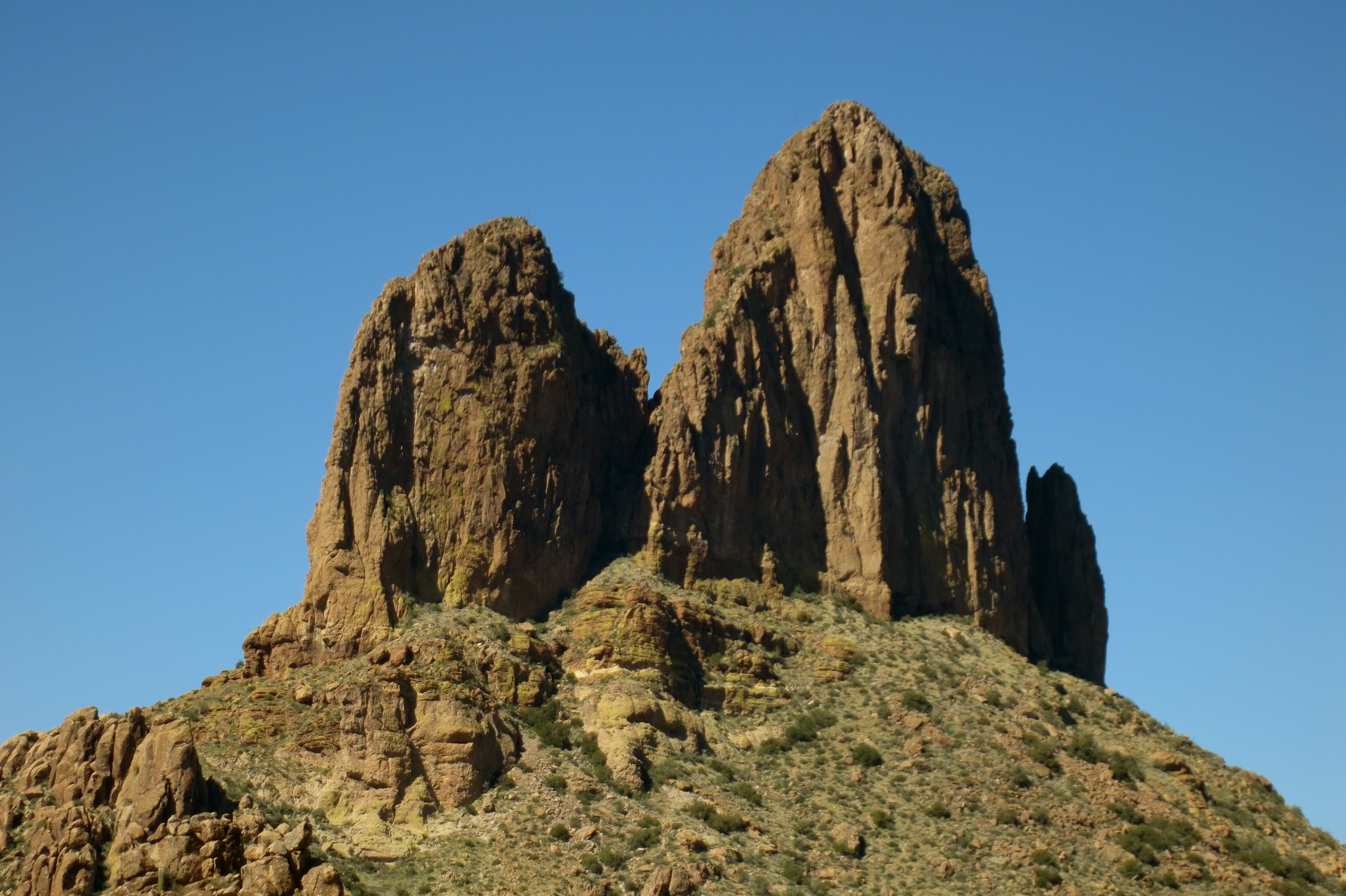
Nestled between the Santa Rita and Patagonia Mountains at a 4000-foot elevation, this town has a unique vibe, a quirkiness about it that suits its residents just fine.  Preserving its history, its rich riparian area, and sustainability are some of Patagonia’s top priorities.

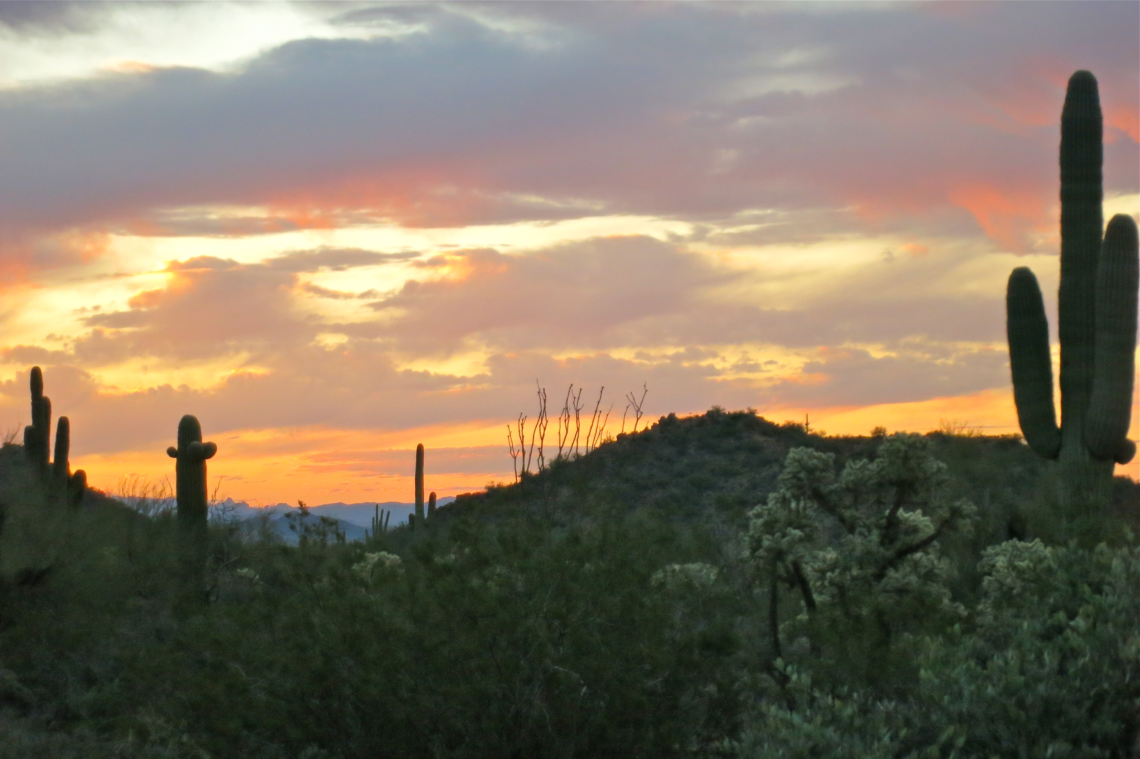
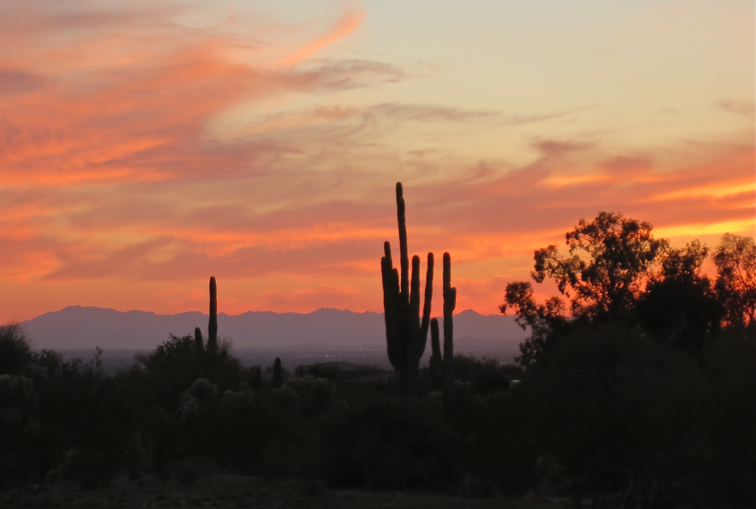
Just west of town lies the Patagonia-Sonoita Creek Preserve, “home to one of Arizona’s few permanently flowing streams, endangered fish, butterflies, and birds”.  Adjacent to town the Nature Conservancy has also staked its claim and the organization Native Seeds/SEARCH maintains a farm for preserving and growing seeds of endangered crops that grow in this area.  Scratch below the surface, dig a little deeper, and you will find some hidden gems in small town America.  We will definitely be back.

Patagonia Lake
Patagonia Lake

Although I have bemoaned the fact that I need a camera with better zoom ability to catch the beauty of these little feathered friends, we headed out to Patagonia Lake State Park & Sonoita Creek Natural Area with binoculars in hand (and camera just in case I got lucky).  Our first stop was to the visitor center to ask where the most birds can be seen.  Many agreed that if we stood in their side yard, where their feeders are, we would see a wide variety, but they also decided to share a couple of trails that might offer some enjoyment.  We opted for the birding trail, sans tour guide, where we could get a little exercise and hopefully see some birds.

A pair of cardinals hiding in the thicket

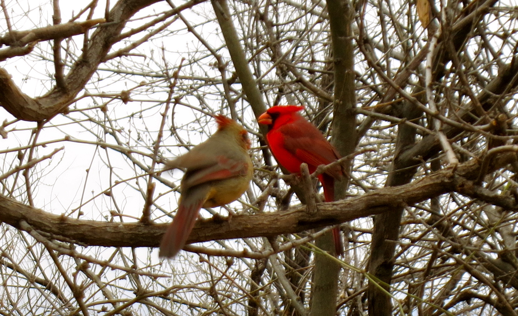
For the record, I am not a birder, but I must admit to sending out a little prayer into the universe to have a chance meeting with the reclusive Elegant Trogon, the colorful, tropical bird that brings birders by the thousands to southeast Arizona each year.  Patagonia and its surrounding  mountain ranges are the farthest north this little beauty ventures so I wasn’t very optimistic about my chances.

Who are you lookin' at?
Who are you lookin’ at?

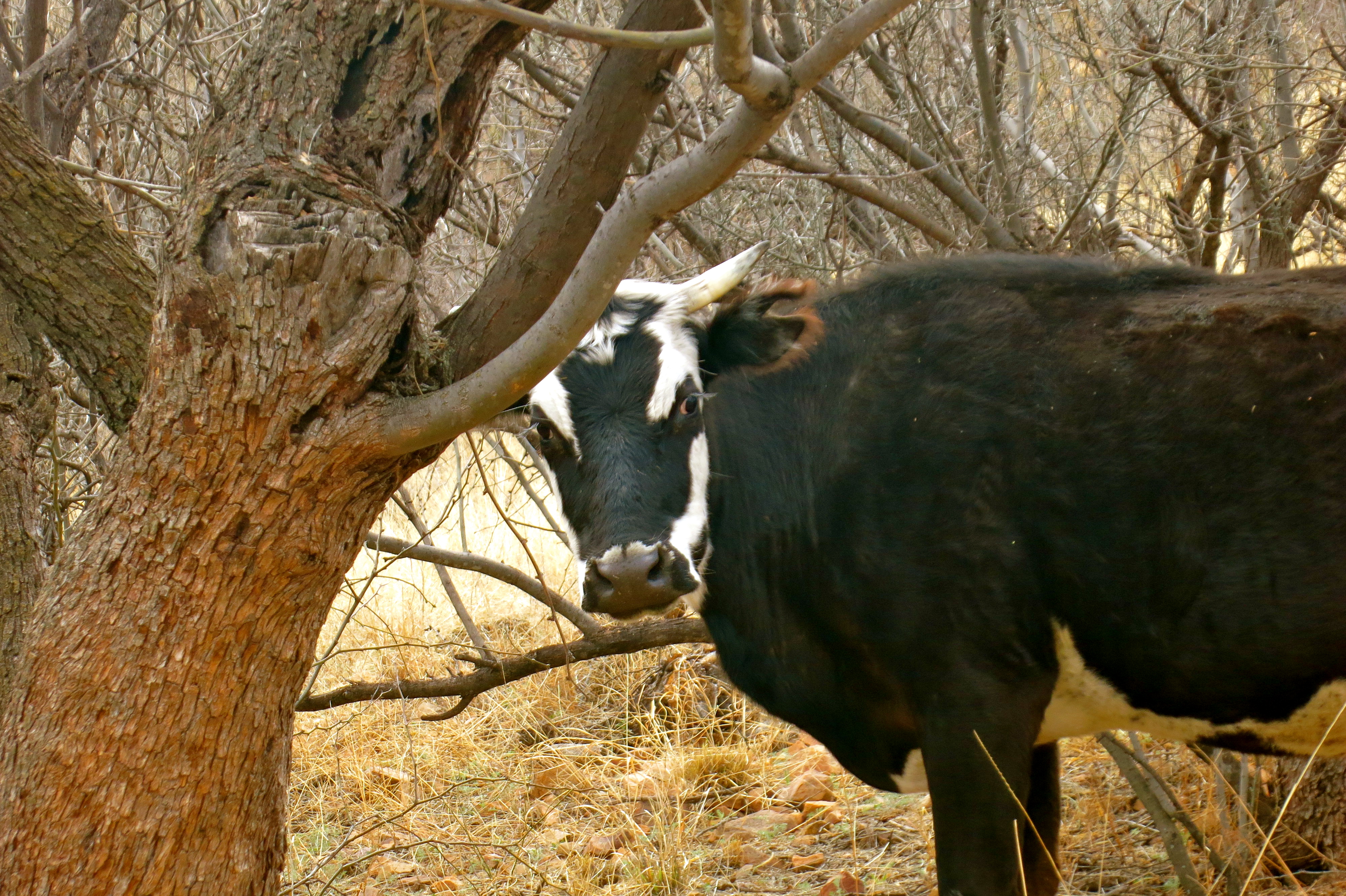
The first mile didn’t offer much to entice our sense of sight, other than some inquisitive cows, a burbling creek and the sound of many bird species that filled the air.  We were relishing the fresh air after being cooped up inside waiting out the winter storm.  Following the creek around a bend, our friend Marilyn whispered, “there he is”.  The gods were smiling down on us as we watched this little beauty quietly perched on a branch.  I kept snapping away in the hopes of having a few viable photos then traded off with Terry so I could see him in all his splendor up-close through the binoculars.  Terry was able to creep even closer when the Elegant Trogon flew from his perch to the ground and back up again. Here is what he found to be much more interesting than us:

The big question from everyone we met on the trail was “did you see it?”.  We showed our photos many times before we got back to our vehicle.  We were ready to take off when someone tapped on Stan’s window.  Rolling it down, the group standing there asked to see the photos.  Guess this colorful little fella is something of a rock star!

Our time with Stan and Marilyn was coming to an end, and what better way to find solace than to nourish our bodies and toast this heart connection with a glass of nice French wine.  We headed over to the Velvet Elvis Pizza Company, where the lovely Ecuadorian proprietor and executive chef, Cecilia, creates the most delectable dishes.  Her pizzas are gourmet and the remaining menu has a Latin American flair.  What a find in this funky little town and the perfect way to bid adieu to our friends, with the promise of a visit later this summer.

"Last supper" at the Velvet Elvis
“Last supper” at the Velvet Elvis

For a great gallery of Arizona birds, check out the Lowe’s RV Adventures, and while you’re there, spent some time reading about their many wonderful travel exploits.

If you liked this blog post, why not scroll up to ‘Follow Us’ and enter your email address?  You just might find something that interests you.


In Search of the Proverbial Needle ~ Superstition Mountains, Apache Junction, AZ

superstition mountain

Our hike into the Superstition Mountains took us in search of a needle, Weaver’s Needle to be exact.   There are several hikes in this wilderness area that allow for views of this well-known landmark (and the Needle presents differently depending on the angle), but the Terrapin Trail we chose gets you closer than most.  The entire hike is a 13-mile loop that circumnavigates Weaver’s Needle but we weren’t able to start early enough to do the entire hike so we opted instead for an 8-mile out and back.  This actually was just about perfect, given the section we trekked was fairly aggressive, over rough terrain, and required some boulder-hopping.  We threw in a little bushwhacking just for fun so we could enjoy lunch gazing at Weaver’s Needle.  If you long for isolation while hiking, this trail is far superior, in our opinion, to the Peralta Trail, one of the most heavily traveled in Arizona.

Weaver's Needle
Weaver’s Needle

Weaver’s Needle was named after mountain man Paulino Weaver and was formed from the erosion of fused volcanic ash.  It has played a major role in the stories told of the Lost Dutchman’s Gold Mine. Supposedly the Needle’s shadow points to the location of a significant vein of gold.  Many have searched for the Lost Dutchman’s Gold and some have lost their lives in this pursuit.  There are even those who feel that the Dutchman mine doesn’t exist within these mountains at all.

The Superstitions are not kind to those who don’t respect her and the wilderness is rugged and vast, with  many trails not well-marked.  If not careful, you could easily get yourself turned around and never leave.  The stories are endless of those who have disappeared, with some estimates of over 600 deaths or disappearances.  Earlier this week on the local news we heard of a 51-year old woman who had to be rescued from the Superstition Wilderness and this was not a first for her but has occurred many times during her quest for the Lost Dutchman’s Mine, the last rescue as recent as December 2012.

Many feel there is a curse in this desolate wilderness.  The fantastic tales of strange phenomena involving the Superstitions are lengthy and quite bizarre, from Aztecs still holed up in caves, to UFO sightings, to portals into other worlds. Strange coincidences swirl around these mountains as well.  Stone from the Superstitions was used to build the Roosevelt Dam on the Apache Trail and 22 died in the construction.  The first water that came over the dam was saved and used to christen the famous battleship USS Arizona.  Twenty-five years later this same battleship became known as the most devastating loss in the attack on Pearl Harbor, with more than 1000 men going down with the ship.

Wicked accidents are a common occurrence as well, as my husband can attest to. Some years ago, while hiking down a rocky trail out here, he stumbled and fell into a teddy bear cholla forest.  Neither he nor the teddies fared very well in this encounter.  Lots of blood and a few tears were shed (mine) as I pulled hundreds of barbs out of his body.  Luckily his face was unscathed, but the palms of his hands took the brunt, along with a shoulder, stomach, and hip.  For weeks afterwards, the teddy bears enacted their revenge on him in the form of secondary barbs that continued to surface in the palms of his hands.  Guess they didn’t take too kindly to him tearing away their appendages in his rush to greet them!

Happiest in nature without teddy bear cholla!

The Superstition Wilderness is fiercely rugged country and a fabulous place to hike in pure isolation, provided you watch the signs and follow those stacked rocks (cairns), which could literally save your life or prevent a rescue mission.

If you liked this blog post, why not scroll up to ‘Follow Us’ and enter your email address?  You just might find something that interests you.

Dawn to Dusk Desert Delights

Desert awakening
Desert awakening

Our day began at dawn as we loaded up the truck to take the 90-mile journey into Tonto National Forest.  It looked to be a glorious day for a road trip.  Our destination was Tonto National Monument, home to the Salado ancient cliff dwellings.

Situated within rugged terrain in the northeastern part of the Sonoran Desert, Tonto National Monument tells the story of the migration of ancient peoples who called this land home and is the setting of two 700-year old cliff dwellings. Recessed into shallow caves, they overlook today what is Roosevelt Lake, but in earlier times was a verdant valley with a river flowing through it.

Roosevelt Lake seen from trail to the Lower Cliff Dwelling

The first Tonto Basin inhabitants (between 100 and 600 AD) support evidence of some of the earliest farming communities.  The river provided fertile ground for many crops until the year 600, when all who had settled here moved on, perhaps due to adverse climate conditions that laid the land barren.  No one was to return for another 150 years.

During ancient times tribes migrated to land that was able to supply most of their meager needs.  Off and on through the 12th century a constant ebb and flow of settlers marked this land.  Periods of drought and flooding caused these huge migrations as farm crops withered or irrigation canals were washed away in the rushing waters, leaving hundreds of acres of useless farmland in their wake.

Lower Cliff Dwelling

By the early 13th century, thousands once again called the Tonto Basin their home.  New immigrants began seeking refuge in the basin’s upper elevations, perhaps because all the prime Salt River Valley floor was occupied or maybe due to strife between tribes.  The cliff dwellings that remain have provided archeologists many clues to their lives.

The structures that stand today, the Lower and Upper Cliff Dwellings, are two of hundreds that once stood in the thriving Tonto Basin.  The skeletal remains of the rooms within tell a story of people who flourished and struggled  with the changing climates.  Dump sites have unearthed many important artifacts, along with the remains of a few, lovingly buried where they lived.

The first written record of the cliff dwellings at Tonto National Monument date back to 1880.  What the first Europeans who explored this dwelling found was a much larger, well-preserved structure than we see today.  The effects of time, weather, visitation, and vandals have taken their toll, which is why President Theodore Roosevelt intervened in 1907 and declared this site a National Monument.

The Lower Cliff Dwelling, built in 1250 AD, was occupied and maintained for ~100 years and can be viewed as a self-guided tour, a one-half mile paved walk with a 350-foot elevation gain.  At its height it housed 20 rooms.

The Upper Cliff Dwelling, also built in 1250 AD, can be seen only by guided tour. Our Park Ranger tour guide Jan has a passion for preserving this site, and gave an excellent tour.  Our small group took the 3-mile hike (round trip) into the rugged wilderness, up 600 feet, to the cave which once housed 40 rooms within its depths.

We chose the route back over the Apache Trail.  One would think, based on its length (40 miles), that this would be the shortcut, but you would be wrong. Although a part of it is now paved, many miles are rutted dirt road, but passing by some amazing scenery, and the mile-long Fish Creek Hill is not to be missed for some hair-raising fun.  Winding, steep, and narrow, if meeting a vehicle coming the other direction, someone must back up to the nearest turn-out.  This was once a stagecoach trail that ran through the Superstition Mountains, named after the Apache Indians who traveled through this harsh country.

President Theodore Roosevelt had this to say about the Apache Trail in 1911:

“The Apache Trail combines the grandeur of the Alps, the Glory of the Rockies, the magnificence of the Grand Canyon and then adds an indefinable something that none of the others have, to me, it is most awe-inspiring and most sublimely beautiful.”

We arrived back home just as Mother Nature was painting the sky the most delicate shades of coral and lavender, a delightful ending to the day.

Mother Nature's final gift at dusk
Mother Nature’s final gift at dusk

If you liked this blog post, why not scroll up to ‘Follow Us’ and enter your email address?  You just might find something that interests you.

Amitabha Stupa and Peace Park ~ Sedona, AZ

Buddha of Infinite Light

Although we had lived in Sedona for many years, we had never visited the Amitabha Stupa and Peace Park.  Thanks to a friend, a recent trip to Red Rock Country from the Valley of the Sun brought us to this sacred ground, situated at the base of Thunder Mountain.

Amitabha Stupa with Chimney Rock in background

Stupas have graced the Earth for over 2,600 years and are said to be the physical embodiment of the Buddha’s enlightened mind.  One of the oldest forms of sacred architecture on the planet, their blessings are immeasurable and their presence in the West very rare.  For millennia stupas have been built to deepen the spiritual life and promote healing, peace, and prosperity, and are a place for meditation and spiritual renewal.

Construction on the 36-foot tall Amitabha Stupa began in July, 2003, with a final 3-day consecration ceremony taking place on August 1, 2004.  On this final day, marked with offerings, song, and dance, prayers began in the early dawn at 5:00 AM.  At this hour the Stupa was bathed in moonlight, but when the rising sun shone on the face of the Amitabha Buddha, the Stupa was born.  Since then the Amitabha Stupa has been radiating blessings of compassion day and night.

The external beauty of the Stupa covers many offerings within its walls.  A sok-shing, tapered 4-sided, 21-foot long cedar column runs along the central channel and is the life force of the Stupa.  It is carved at the top like a stupa and has a thunderbolt at the bottom.  A large copper cauldron has been placed in the center  as a symbol to protect the environment and replenish the five classical elements (earth, water, fire, air, and space) and is said to restore the Earth’s vital energies. Along with this are holy relics, rolled mantras, semi-precious stones and crystals, and other deity statues.

When you arrive at a stupa, Buddhist tradition teaches that there is great benefit in walking clockwise around the stupa at least three times, while making personal prayers for those suffering and for world concerns.  A small offering can be made after this journey to dedicate the merit of these prayers for the greater good.

After the three of us had made the journey around the Stupa, we quietly absorbed the serenity of our surroundings.  Soon a lone coyote’s cry pierced the silence.  Native Americans feel the coyote teaches us that only when all illusions have fallen away will we connect with the source ~ beautiful symbolism experienced on this sacred ground.

Prayer flag mantra
Prayer flag mantra

If you liked this blog post, why not scroll up to ‘Follow Us’ and enter your email address?  You just might find something that interests you.

Desert Hikes and RVing Friends ~ Cave Creek, AZ

dancing saguaro

Soft breeze, deep blue sky

desert delight round the bend

Saguaros dancing!

When I rounded the corner on the Spur Cross Trail, this saguaro, with his arms extended, looked to be dancing.  He didn’t seem to have a dance partner at the time and, given his prickly nature, I wasn’t about to oblige him either.

We have enjoyed a few hikes now while hangin’ out in the burbs north of Phoenix, taking advantage of these warm winter days.  Spur Cross Trail is one of many in what is the newest addition to Maricopa County’s Regional Parks system, Spur Cross Ranch Conservation Area.  A moderate hike at 5.2 miles; link up Elephant Mountain Trail with this and you have a nice 7.5 mile trek.  We chose to just gaze at Elephant Mountain on this day as I was looking forward to another 7.5  miler the next day with the gals, friend Nina and her most precious pooch Polly.

Hiking destination for the girls’ outing was Pass Mountain Trail in Usery Mountain Regional Park.   Terry and I had done this hike last year so there was zero risk of me being found wandering aimlessly in the desert.  I do have quite the reputation for having a pitiful sense of direction, which I will not even attempt to deny. This trail offers sweeping desert vistas, mountain views, and saguaros dotting the landscape, a most enjoyable way for Nina and I to catch up on the adventures we each have had over the past few months.

Meeting other RVers is always an enjoyable part of this lifestyle.  What we didn’t know when we booked our reservation at Cave Creek Regional Park was that we would have the opportunity to meet another nomadic couple and they would be camped right next to us!  Stay tuned for my next post when I introduce you to our new RV friends.

If you liked this blog post, why not scroll up to ‘Follow Us’ and enter your email address?  You just might find something that interests you.